Instructors
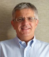
Gabriele BITELLI
Full Professor, Università di Bologna, Italy
Full Professor of Geomatics since 2002 at the Department of Civil, Chemical, Environmental and Materials Engineering (DICAM) of the University of Bologna.
The main research interests are related to satellite Earth Observation applications (environmental monitoring and change detection, disaster management, urban mapping, and other), advanced methods for Cultural Heritage surveying and representation, Digital Twins, integration of digital photogrammetry/LiDAR/GNSS data and sensors, deformation control for structures and territory, 3D terrain modeling, digital approaches for historical cartography, applications of Geographic Information Systems.
https://www.unibo.it/sitoweb/gabriele.bitelli
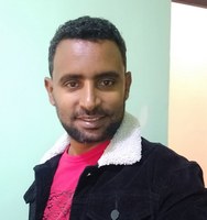
Gemechu FANTA GARUMA
Assistant Professor, Space Science and Geospatial Institute, Ethiopia
Dr. Gemechu Fanta Garuma is currently an Assistant Professor at the Atmospheric and Climate Sciences (AtClim) Unit in the Department of Space and Planetary Sciences at the Space Science and Geospatial Institute (SSGI). He received his Ph.D. in Environmental Sciences (Atmospheric Sciences unit) from a university in Canada. He has published high impact articles in peer-review journals, mainly focusing on urban heat islands, heatwaves, air quality and ensemble machine learning methods. He also conducted research on renewable energy opportunities for sustainable development in Ethiopia. Furthermore, he served as a lecturer in Ambo University and as a research assistant at AAU where he obtained research grants and successfully accomplished research works on climate-related energies. He participated in many national and international conferences. He has international research experience and received the Natural Science and Engineering Research Center (NSERC) scholarship grant in Montreal, Canada. His research interests are regional climate and impact modeling, urban climate modeling, wind energy meteorology, and machine learning applications.
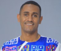
Addisu GEZAHEGN
Assistant Professor, Addis Ababa University, Ethiopia
Dr. Addisu Gezahegn Semie obtained his Ph.D in Environmental and Industrial Fluid Mechanics from University of Trieste and worked as a Postdoc researcher at CNRS, Laboratoire de Meteorologie Dynamique (LMD), Paris, France. Currently, he is Assistant Professor at the Computational Data Science program, Addis Ababa University.
His research interests include Atmospheric Physics, Atmospheric convection, organization of convection in Tropics, extreme precipitation in Tropics and Tropical climate variability. He has extensive experience of using weather research forecasting (WRF) model and satellite data for his research. He supervised postgraduate Computational Data Science students and has many peer-reviewed publications. He teaches courses related to Data Sciences and High Performance computing for Computational Data Science graduate students.
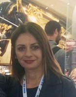
Patrizia SACCO
Technologist, Italian Space Agency (ASI), Italy
Patrizia Sacco graduated in Physics from the University of Bari, Italy. She then proceeded with a University Master in “Technologies for Space Remote Sensing”, also from the University of Bari, and a PhD in “Environmental Engineering” from the University of Basilicata.
Her work experience started in the private sector, with a Small Medium Enterprise specializing as a service and technology provider for the Earth Observation field. In 2013, she joined the Italian Space Agency being involved in the management of both SAR and Optical remote sensing missions. Currently, she plays the role of PRISMA Mission Manager and she is member of the Italian delegation to various ESA Earth Observation bodies (DOSTAG, PB-EO).
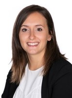
Francesca TREVISIOL
Researcher, Università di Bologna, Italy
Researcher at the Department of Civil, Chemical, Environmental and Materials Engineering - DICAM of University of Bologna since 2019, her research activity is mainly related to the use of satellite remote sensing to monitor environmental changes over time. The focus of the PhD research is the use of remotely sensed data time series from multispectral optical satellite imagery and SAR data to extract valuable information supporting flood risk management, with a specific interest towards flood recovery and prevention phase. Other research interests are related to high resolution urban mapping, spectral indexes for vegetation monitoring, Geographic Information Systems, thermal mapping for damage detection on historical buildings.
